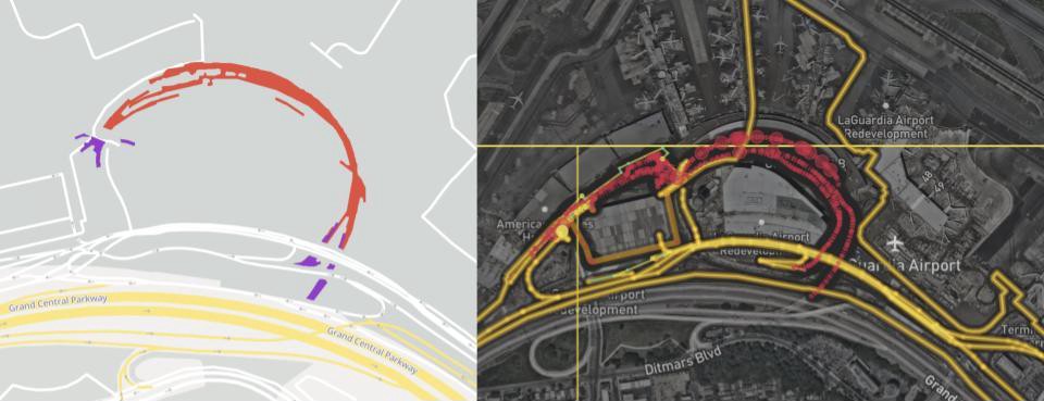
Lyft, which provides dispatch services in the United States and Canada, uses OpenStreetMap, an open data map project, as a service map. Rift has contributed to updating road information on OpenStreet Maps, but has not been able to figure out how accurate the road information is on OpenStreet Maps. For this reason, Rift draws attention by explaining how to verify the accuracy of the OpenStreetmap and verify the results.
One way to verify map accuracy is the American Bureau of Rescue, which manually surveys all roads, every 10 years. However, a large number of personnel are required to conduct an investigation in this way. In fact, the American Bureau of Rescue Bureau employs mass surveyors to the point that it affects the U.S. unemployment rate.
Rift has services in more than 300 locations, and because it takes time and money to survey the entire service area road, we had to weave a way to verify the accuracy of OpenStreetmaps while minimizing costs.
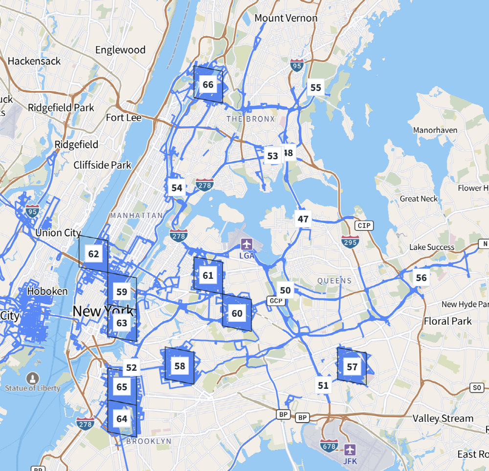
For this reason, Rift paid attention to sample surveys, which are often conducted in the public health sector. It was decided to statistically calculate the accuracy of the entire service area by extracting a part from the lift service area, examining actual road information, and comparing it with the Open Street Map.
In addition, Rift used Mapillary data, a service that simultaneously provides road landscape photos and map data in order to eliminate the trouble of going to the road. Map Gallery provides image data that clearly shows road signs and lane information, so you can get detailed information about the road without actually going there.
Using this method of investigation, Rift succeeded in verifying the accuracy of road information across the North American continent in three months.

The Rift survey found that the road information on the North American continent was accurate. Basic information such as road type, direction, and name provided accurate information with a probability of 95% or more. In addition, it is said that the information essential for navigation, such as the entrance lane of the expressway, the exit lane, and the left and right turn limit, is also accurate with a probability of 85% or more.
Looking at the accuracy of information by city, the probability that the road type is correct and the road direction is more than 90% in most cities. The probability that the number of lanes is correct does not exceed 80% due to variations in cities. In response, Rift said that the survey revealed that the OpenStreet Map contains inaccurate information such as the number of road lanes. He expressed an attitude to continue contributing so that he can do exactly that.
In addition, Rift said that OpenStreet Maps is a task like finding a needle in the hay about how fast OpenStreet Maps responds to new roads. Rift explained that the survey method used this time can verify the accuracy of the map at low cost and in a short period of time. Related information can be found here.

