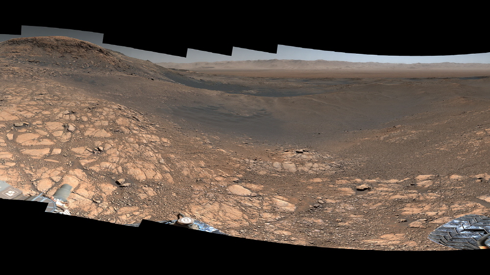
In early March, NASA released a panoramic photo of 1.8 billion pixels made of 1,200 images taken over four days by Curiosity, a Mars rover. What’s in the world’s largest, highest resolution image?
Since the picture was taken with the mast camera mounted on the rover, some of the rover itself is not shown, but if you add another mast camera in a different position, you can see the rover properly. What’s great about this photo is that it’s high-resolution, so you can zoom in to see the details clearly. If you enlarge the picture, you can clearly see the edge of the crater. 32km from here, you can also see a massive 4.8km diameter Slangpos crater. You see something huge hit it.
The mountain side taken by Rover seems to be the site of a lake, etc. billions of years ago. The rock here seems to be a clue to what Mars was originally like, including the clay layer. You can of course also see where the rover has observed past (Vera Rubin Ridge, Central Butte). In the Greenheugh Pediment, cliff rocks are covered like waves. It is believed that this was created after the lake was lost and the current mountain was formed.
Since the high-resolution image was taken as a 360-degree image, distortion occurs as when using a fisheye lens. Related information can be found here .


