There has been a lot of talk that glaciers around the world are disappearing due to global warming. However, like the movement of glaciers, this trend is progressing slowly, making it difficult to realize with the eyes.
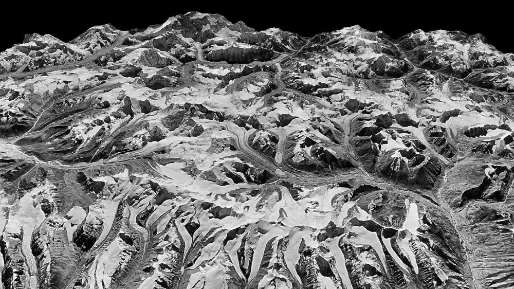
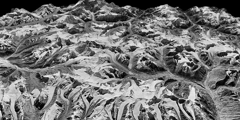
Of course, some eyes keep watching these changes secretly. The U.S. Geological Survey has analyzed satellite images for 40 years, including high-performance thermal radiation reflective radiometer ASTER data mounted on the KH-9 hexagon image reconnaissance satellite and the Earth observation satellite Terra, which were revealed by the disclosure of confidential information. Through this, a 3D model of how 650 glaciers located in a vast area of 1,240 miles changed and shrunk was reconstructed. Of course, temperature change data was collected during this period so that the correlation with glacial phenomena could be seen.
As a result of the analysis, the ice loss rate from 2000 to 2016 was 20 inches per year, which is twice as accelerated compared to the period from 1975 to 2000. This speed is said to be the same for all glaciers. In other words, climate warming could be the cause.
Satellite imagery clearly shows the impact of climate warming in the region. For example, the Himalayan glaciers, which serve as drinking water for hundreds of millions of people in foothill villages and southern Asia, melt faster than elsewhere.
Experts have investigated how the glaciers in the Everest region are affected by precipitation and storms. According to the report, not only Nepal but also Bhutan and Tibet need long-term glacier monitoring in the future to secure water resources and prevent floods and landslides caused by storms. Another expert pointed to India’s extreme temperature rises, rising sea levels in Bangladesh, and rising floods.
Understanding this with just a single satellite image may lead to appeals and efforts to prevent global temperature rise in the future, saving lives. Related information can be found here .


Add comment