
NASA’s JPL team is trying to evade risk using machine learning on the Mars rover Curiosity. It requires voluntary power from all over the world, so if you tag what is on the terrain, whether it is sand, black, or rock in the picture, you can explore more safely.
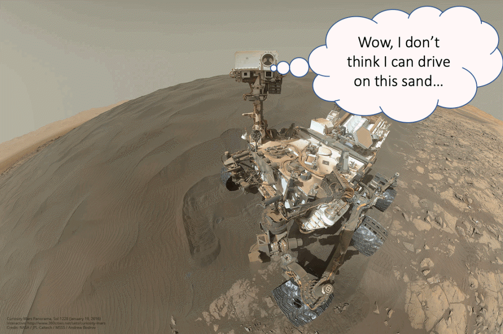
Mars rovers are likely to end up in crisis with their wheels buried in the sand. In fact, there were times when the mission was ended as it was because the rover could not move. It’s not easy to escape on the sand.
The AI4Mars project launched by NASA is to help Curiosity, which has less intelligence than humans, with human intelligence. Here, we create the world’s first open source Mars dataset and train the algorithm to learn terrain and soil in Curiosity. In this way, Curiosity will be able to determine for himself where to run and where to rest.
Anyone can participate in AI4 Mas. The method is to designate the enclosed area by drawing a straight line by clicking on the mark representing the four terrains, such as sand, soil, flat rock, and large rock, on the picture taken from Mars. It is okay to leave the unknown part. Related information can be found here .


Add comment