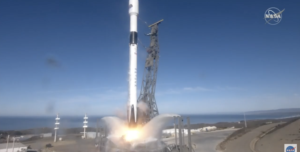
As warming progresses, sea level rise and its impact on marine ecosystems worsen, NASA and ESA launched new satellites to observe the ocean from orbit for climate change research over the next decade.
The Sentinel-6 Michael Freilich ocean-tracking satellite, recently in orbit with the SpaceX Falcon 9 rocket, has the ability to measure and record the world’s sea level in centimeters. It follows the collected TOPEX/Poseidon and Jason satellites.
In addition to the satellite, it is equipped with a microwave radiometer AMR-C altitude and closely observes minor differences in coastal sea level that will affect ship navigation and anglers. In addition, the data collected by this satellite can be used for weather, etc.
After reaching an altitude of 1,336 km, the orbit for operation, the satellite is expected to perform calibration by comparing its own data with the data from the Jason-3 satellite through test observations for several months. The mission of the Sentinel-6 satellite is scheduled for five and a half years, and in 2025, the sibling Sentinel 6B will enter orbit and take over the second half of the decade. Related information can be found here .


Add comment